Stockton Bike Trails
Stockton's bike trails take advantage of features such as river banks and levees as well as right-of-ways for power lines or abandoned railroad grades. Most of the bike trails shown here are paved Class I trails. Numerous other bike lanes are available along city streets.
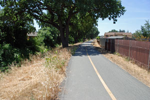
East Bay Municipal Utility District Right-of-Way
The intermittent back path extends 5.5 miles from Brookside Road near the country club east to Highway 99. Sections have not yet been completed, but bikers can still ride the full length by making use of surface streets, including bike lanes on West and Hammer lanes. The asphalt surfaced trail is used by pedestrians, inline skaters, and cyclers.
Length: 5½ miles
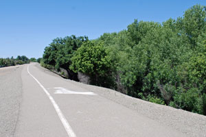
Calaveras River Bike Path
The southern end of the bike trail begins along Brookside Road at
Brookside School. The asphalt trail follows the course of the Calaveras River, splitting at the diversion canal. The path is used for biking, inline skating, and walking. A bike-pedestrian bridge extends across the Calaveras River east of West Lane and another crosses at UOP.
Length: 7.4 miles
Pacific Gas and Electric Greenbelt
The greenbelt beneath PG&E powerlines in Weston Ranch runs diagonally across the residential development with numerous connecting points to local streets. The 1.75 mile paved trail begins at French Camp Road and ends at the San Joaquin River. There cyclers, joggers, and walkers can make the transition onto the San Joaquin River - French Camp Slough Trail. A side trail leads east for a mile, parallel to Ishi Goto Street.
Length: 1¾ miles
French Camp Slough Trail
This asphalt bike and walking trail runs along the French Camp Slough levees from Carolyn Weston Boulevard near Interstate 5 around to Abruzzi Court. Users can connect with the PG&E greenbelt bike trail to extend their outing.
Length: 3 miles

Bear Creek Trail
The Bear Creek Trail extends from Lower Sacramento Road across Davis Road and then north up the side of Bear Creek and returns to Davis Road. From there it returns down Bear Creek on the opposite back and follows it west under Interstate 5 out to Rio Blanco Road near the Paradise Point Marina.
Length: 8 miles
Dentoni Park Trail
This short bike trail runs from Thornton Road to Lower Sacramento Road, passing through Dentoni Park at its midway point. The 9½-acre park has restrooms, picnic tables, tennis courts, and playground equipment.
Length: 1.3 miles
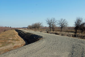
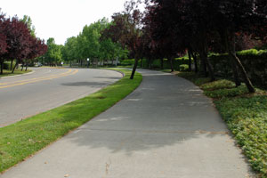
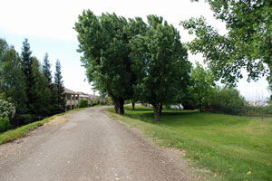
Pixley Slough Trail
The unpaved Pixley Slough Trail leads north from 8 Mile Road near Lower Sacramento Road and angles 1.8 miles across to West Road.
Length: 1.8 miles
Stockton Bike Shops
- Performance Bicycle, 6555 Pacific Ave., Lincoln Center South, Stockton, CA (209) 951-5665
- Robby's Bicycles, 7931 Thornton Road (209) 951-4371
- Klassic Cycles, 4425 E. Main Street (209) 993-5305